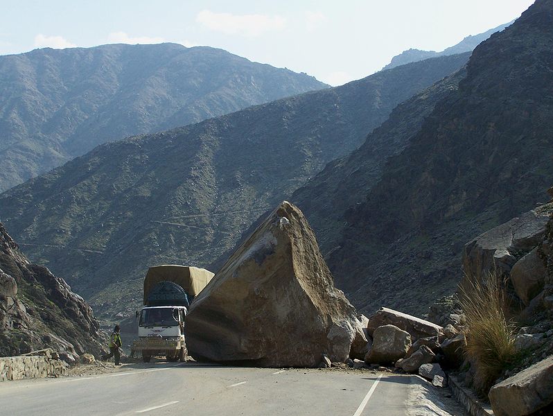
The main goal of the research is for the development of innovative solutions to (i) characterize slope mass movement processes (landslides, rockfalls, etc.) and sediment transfers, (ii) improve techniques of slope processes monitoring and 3D modeling of geological objects, (iii) provide hazard and risk assessments related to gravitational phenomena and (iv) support decision making in natural hazard mitigation and management. This is achieved by developing a fundamental process understanding. Various approaches are used for this purpose, combining fieldwork, remote sensing (with a strong focus on laser scanning), geomechanical analyses, numerical and analogic simulations and development of computer models.
For further information related to the former research pole (news, events, technical reports, current or completed projects, online teaching material, software, etc.), please refer to our WordPress website at the following web address: https://wp.unil.ch/risk/.

 021 692 35 32