The laboratory of geomorphology has mainly equipment for field geomorphological studies.
Main devices are the following:
| A microdrone md4-1000
| A Lidar Riegl VZ-6000
| Differential GPS Leica SR530 and Differential GPS Trimble R10 GNSS/GPS/Glonass.
| Total stations SOUTH
| Acoustic Doppler Current Profiler (ADCP)
| Geophone system
| Schmidt hammers PROCEQ
| IRIS instruments
| Portable OSL (Optically Stimulated Luminescence) reader
| Flow meters
| Sieve analysis
| Tree increment corers
| Permanently in the field
The laboratory of geomorphology has mainly equipment for field geomorphological studies.
Main devices are the following:
|
The microdrone md4-1000 is a miniaturised VTOL (Vertical Take Off and Landing) quadrocopter of 1.7 m span and 2.6 kg weight. It can carry a payload of 1.2 kg and is currently equipped by a Sony α6000 camera. The drone can fly by remote control or automatically via a GPS waypoint navigation system. Flying time is about 50 minutes, when working with a photo camera, and can be flown to a maximum of 100 m above ground and to a maximum distance from the pilot of 1000 m (to guaranty visual contact to the pilot as required by Swiss laws). The device is rain/snow/dust-resistant and tolerates extreme temperatures (-20°C to +50°C). From the aerial images, Digital Elevation Models (DEMs) and orthorectified images can be created and used for landscape (glaciers, rivers, vegetation, etc.) |
 |
Contact: Stuart.Lane@unil.ch
|
Thanks to a long range laser pulse, the RIEGL VZ 6000 scanner can achieve three-dimensional data from a distance of up to 6 km. Its capacity to acquire more than 200’000 points per second allows the user to generate dense point clouds in affordable time. Given the precise digital elevation model that can be generated from these point clouds, this technology can be applied to monitor a wide range of landforms. Notably it can be used with snow and ice surfaces, unusual for many normal laser scanners. |
 |
Contact: Stuart.Lane@unil.ch
|
With the use of one reference station and one mobile receiver, and with post-processing, a precision in the order of one cm in XY coordinates can be obtained. Main applications are : 1) the monitoring of surface terrain motion (rock glaciers, debris-covered glacier, landslides, etc.), 2) the measurement of ground control points for the creation of digital elevation models from aerial and terrestrial imagery, and 3) the measurement of high precision topographic profiles. Simultaneous use of combined satellite systems allows use of our equipment in mountain regions where sky coverage can be restricted. |
 |
Contact: Christophe.Lambiel@unil.ch
|
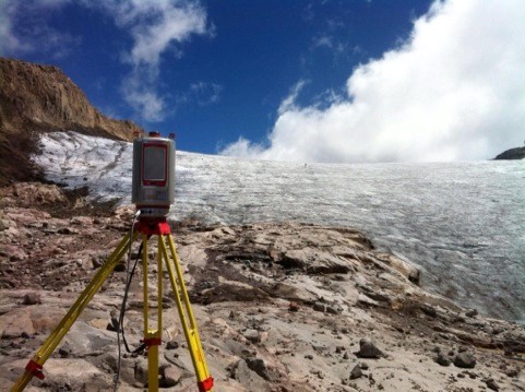
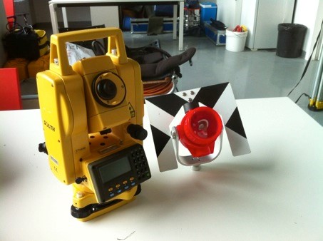
A total station is an electronic theodolite which makes also use of a laser beam and a prism reflector for distance measurement. This combination of these technologies allows the surveying of three-dimensional points at short range. Total stations are particularly useful for measuring linear profiles. |
 |
Contact: Stuart.Lane@unil.ch
|
An Acoustic Doppler Current Profiler (ADCP) is a hydroacoustic current meter, which is used to measure the 3D velocity of water, sediment transport and bed load velocity in rivers. It allows data collection with high spatial and temporal resolution and based upon the Doppler Effect. The device includes a moving vessel (Trimaran), a high frequency velocity measurement system called a Sontek River Surveyor M9 SmartPulseHD, a computer to receive the data and a RTK-dGPD to subtract the vessel’s own movement from the current data. The instrument tracks water velocity and depth across an entire column of water, continuously. This technic allows the user to use multiple acoustic frequencies (up to three frequencies) for velocity profiling in extreme flood or drought situations. |
 |
Contact: Stuart.Lane@unil.ch
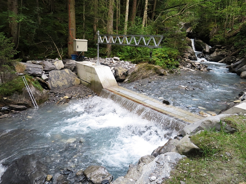
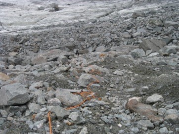
| A continuously recording geophone system for measuring bedload, along with turbidity probe and discharge measuring equipment, installed in the Vallon de Nant (East Vaud, Switzerland), the experimental basin of the Faculty. This is a joint project with Dr Dieter Rickenmann of the WSL and Professor James Kirchner of the ETHZ-WSL. |
 |
Contact: Stuart.Lane@unil.ch
|
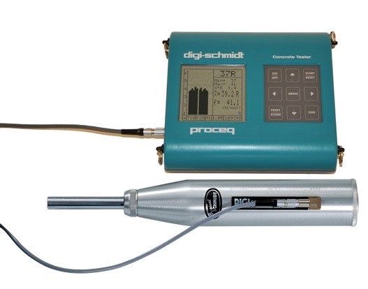
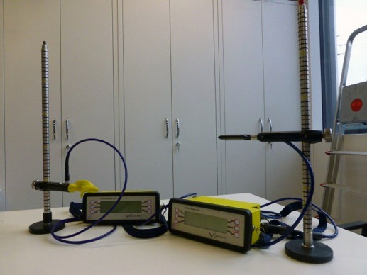
Measure the elastic properties or strength of concrete or rock, based on the measurement of a rebound value. The a-dimensional rebound value (R-value) is proportional to the compression resistance of the rock surface and, for a same lithology submitted to similar climate conditions, is proportional to the weathering degree of the rock sample. Considering the history of transport of the rock, which may influence the surface roughness of the measured sample, it is possible to perform an exposure-age dating of the rock surface on the basis of R-values |
 |
Contact: Christophe.Lambiel@unil.ch
|
Equipment for Electrical Resistivity Tomography IRIS instruments (cables, electrodes, etc.) and equipment for DC-resistivity soundings. |
 |
Contact: Christophe.Lambiel@unil.ch
|
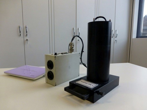
The portable OSL reader is a field equipment for the quick characterisation of the luminescence properties of sediment samples directly after field sampling. The system allows a blue (OSL) and infrared (IRSL) stimulation and measured the related photon release. The amount of released photons are related, apart to its chemical composition and gain size, to the processes of deposition and burial time. Compared to the laboratory measured OSL signal, this tool provides a bulk measurement of the samples, without any samples treatment. It can be used for a preliminary characterisation of the samples before the more detailed laboratory dating technique. However, it is also used for geomorphological studies to a assess sediment sources and dynamics. |
 |
Contact: Stuart.Lane@unil.ch
|
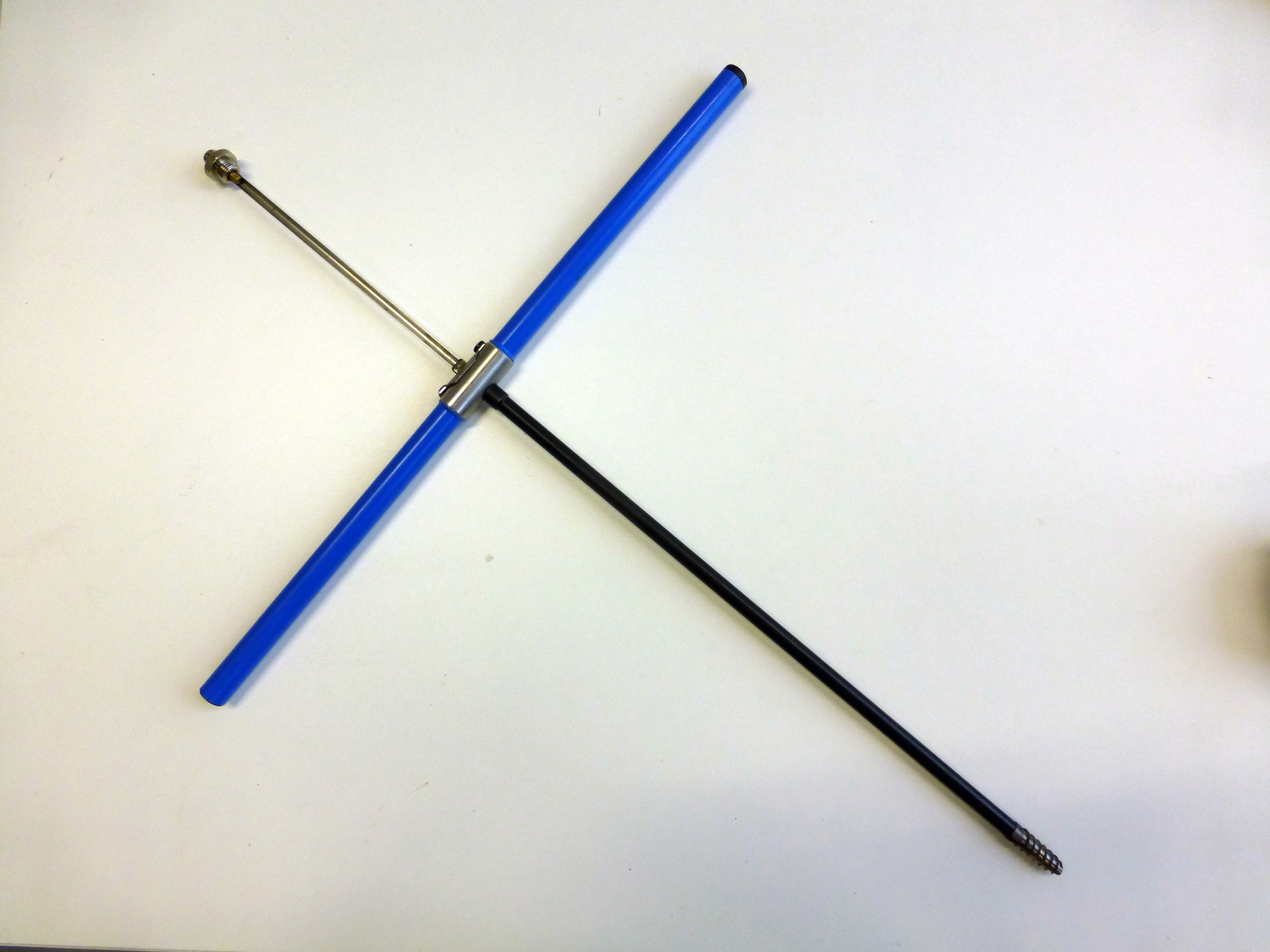
One dimensional propeller and electromagnetic types, two-dimensional electromagnetic type We use these flow meters for routine velocity measurement: cross-stream and vertical profiles most notably. All allow logging of data acquired, at a range of frequencies. We have both impellor and electromagnetic types. One of the two electromagnetic sensors has the option for flow velocity measurements along two axes, for secondary flow and turbulence measurements. |
 |
Contact: Stuart.Lane@unil.ch
|
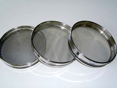
Complete equipment for sieve analysis (sieves, mechanical shaker, drier, etc.)
Contact: Christophe.Lambiel@unil.ch |
 |
SurberThe surber sampler is field sampler equipment used to assess the macroinvertebrate community of rivers. The species and richness of macroinvertebrates are important and coast efficient indicator for the river water quality at larger time and space scale (compared to water chemical analysis). River sediments are washed in from of the sampler. The macroinvertebrats are then transported by the water flow into the sampler. | 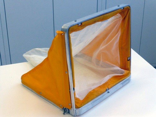 |
Contact: Stuart.Lane@unil.ch
|
The corer allows taking tree cores in the field without hampering plant growth. The rings can be counted and analysed to estimate stand ages (dendrochronological) or to infer timing and power of geomorphological events (dendrogeomorphological). |
 |
Contact: Stuart.Lane@unil.ch
|
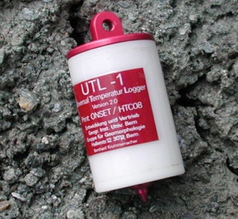
Around 200 miniature temperature data loggers for monitoring ground surface temperature. |
 |
|
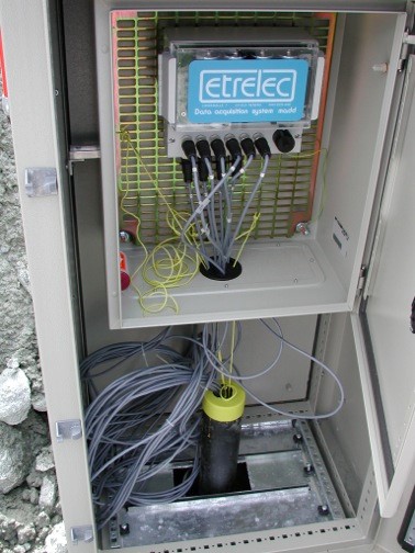
13 data loggers with thermistor cables for monitoring ground temperatures in boreholes. |
 |
|
4 automatic cameras for monitoring mass movements, such as active rock glaciers or debris-covered glaciers. |
 |
|
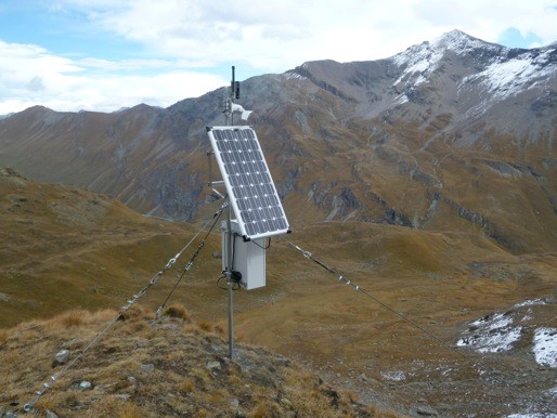
A permanent GPS for monitoring mass movements, such as active rock glaciers or debris-covered glaciers. |
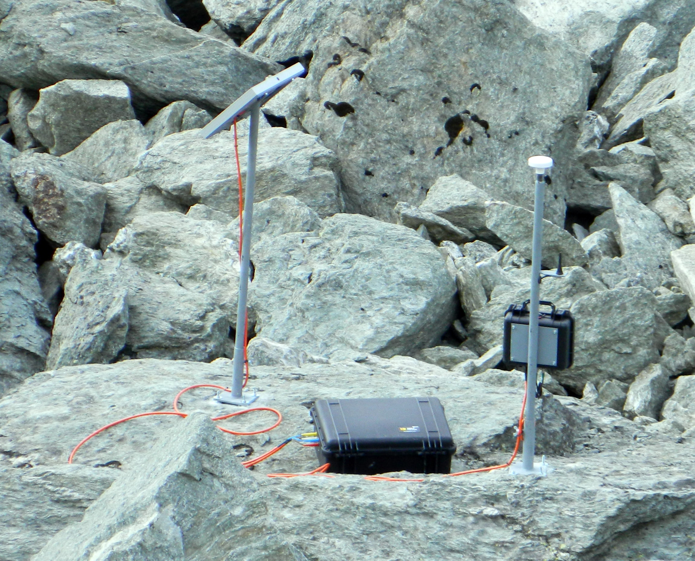 |
Contact: Christophe.Lambiel@unil.ch